I’m very happy, that I finally can publicly announce the project I was working on the last months. I already told you about the OpenStreetMap, this astonishing project with the goal of creating a free map (as in free speech and in free beer) of the world. The great thing about it … you can take the data, use your imagination and think of better ways to visualize the data. And I used my imagination and creativity and created the OpenStreetBrowser.
On the webpage you have a „Slippy Map“, as you know it from the OpenStreetMap Homepage or commercial services like Google Maps. But on the left side you can investigate the current map view. Get a list of Pubs or the Public Transport routes or a list of street names. When appropriate a thematic overlay is displayed. Just play with it, you will see you can’t stop :) If you want to get more information about an object, then just click on it on the map.
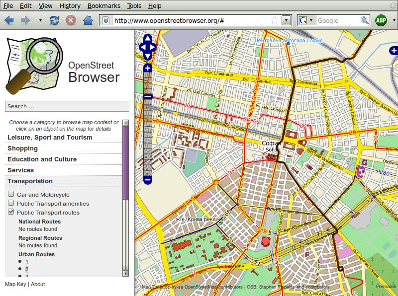
Disclaimer: The project is not finished yet, it’s still a big construction site. So, please be patient if it gets slow or if you find bugs (please report them here) or something is still missing.
I want to send special thanks to Manuela for talking and encouraging and for sure for the web design. I’m looking forward for further co-operation. And I also want to thank Monika for mental assistance :)
What happens the day I announce it on my blog? Power Failure!
Hi Stephan,
congratulations for officially announcing openstreetbrowser! :-) I discover every day new features which have previously been hidden in the OSM database. I hope to see your project accepted for Google’s summer of code event this year!
All the best, SB79 (osmbonnblog.blogspot.com)
Really awesome! Great job!