I love mapping for the OpenStreetMap project, it’s a very pleasing thing to do. I especially like to do it as vacation activity, because then I’m exploring new places anyway, but I also like to do it at home.
Recently I’m concentrating on mapping artwork and memorials. Even in a well-mapped city like Vienna, Austria, there’s still plenty to do. For example, most social housing building complexes (Vienna is famous for it’s social housing) have some kind of artwork, e.g. some murals or statues in the gardens.
Some examples:
-

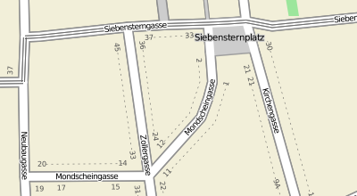
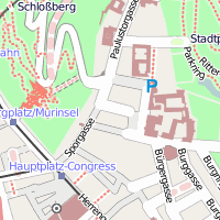
- Zirkusgasse 11, 1020 Wien
-

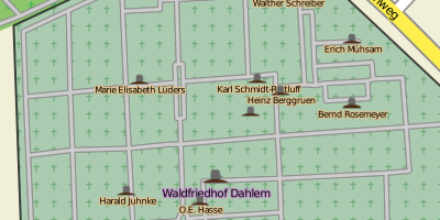
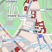
- Oswaldgasse 19, 1120 Wien
I think, having a map feature in OpenStreetMap is not enough though. I want to add pictures and meta data (who made the object, when was it created, …). This is done in cooperation with the Wikimedia Foundation. In this article, I want to explain how I map these objects.
1. Wikimedia Commons
Often these objects already have photos on Wikimedia Commons. If not, I upload one or a few photos (whatever is reasonable). If there are several photos of the picture (or the object seems important enough), I create a category for the object (if it does not exist yet). Of course, the category should have the relevant categories for the location, the motive, the artist, etc.
2. Wikidata
Next, each object should have its own Wikidata entry. Haven’t heard of Wikidata yet? It’s a sister project to Wikipedia and Wikimedia Commons. As Wikimedia Commons is the platform for media (which is linked by Wikipedia), Wikidata is a platform for semantic and linked data. E.g. an entry for a city would have values for the population size at specific historic dates, links to the wikidata entry of current and former mayors, link to other data sources (Encyclopedia Brittanica, Library of Congress), link to its Wikimedia Commons category, and so on (e.g. Vienna). Most infoboxes in Wikipedia are now automatically created from Wikidata data.
So, each object should have its own Wikidata entry. Of course, you should check if a Wikidata entry already exists – if yes, check if the data is complete. It should have values for (if available):
- label and description (at least in local language, preferred also in English)
- instance of (e.g. memorial monument, sculpture, …)
- depicts (the entity being depicted)
- dedicated to
- geographic coordinates
- image (link to a Wikimedia Commons image)
- commons category (link to the Wikimedia Commons category for this object)
- country
- administrative territorial entity
- inception (start date; if possible the date of its inauguration)
- material used
When done, edit the Wikimedia Commons category, and add the following line (replace „Q1234“ by the ID of the wikidata entry), so that the category gets a nice infobox on the side:
{{Wikidata Infobox|qid=Q1234}}
3. OpenStreetMap
Finally, the map feature in OpenStreetMap. This can be a node or an area. If the object is located on the wall of a building I make the node a part of the building contour. The entry should have the following tags:
- tourism=artwork, artwork_type=* and/or historic=memorial, memorial=*
- name=*
- wikidata=Q1234 (the wikidata ID from above)
- subject:wikidata=Q2345 (the wikidata ID of the main subject)
- artist_name=*
- artist:wikidata=Q3456 (the wikidata ID of the artist, resp. the artists separated by „;“)
- start_date=* (the date of the inauguration)
- year_of_construction=* (if there’s information when the object was being built, this can be a range)
- material=*
Further tags like wikipedia=*, image=*, wikimedia_commons=* are not necessary, as this information can be read from the Wikidata entry. I do not remove these tags though, if I find them.
Often, map features already have a wikidata/wikipedia-tag which points to the person which it memorizes. This is wrong, because this should be a „subject:wikidata“ resp. „subject:wikipedia“ tag. Please change this.
Final
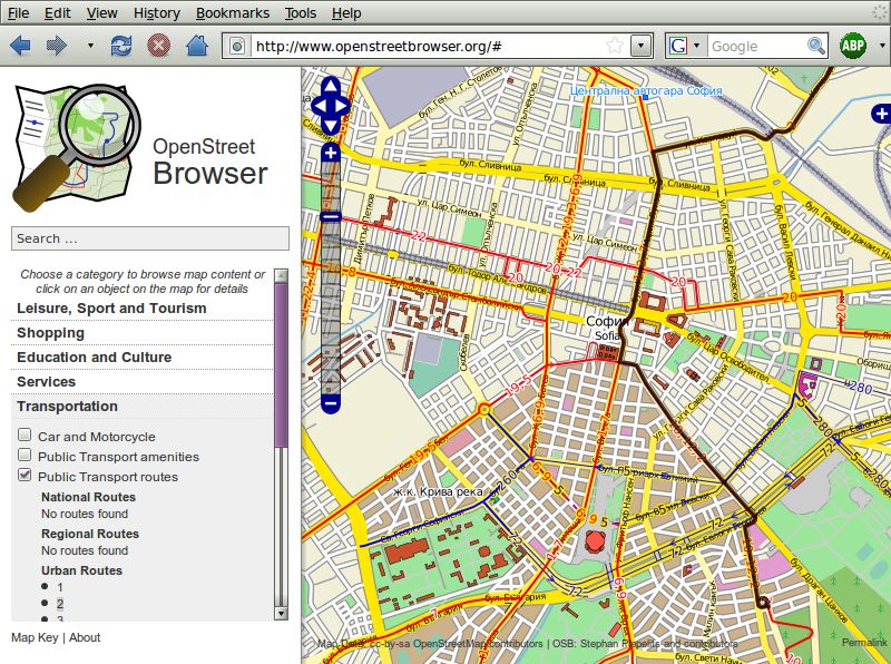
How can you test your entries? There’s a list of tools which let you explore wikidata tags. I recommend OpenStreetBrowser, which is an application for OpenStreetMap data written by myself. It will show images of the map features and excerpts of Wikipedia articles.
Examples
Here are some examples of such features:
- Goethe memorial near the Viennese ring road:
Wikimedia Commons category, Wikidata entry, OpenStreetMap feature, OpenStreetBrowser - „Hill arches“ by Henry Moore at Karlsplatz:
Wikimedia Commons category, Wikidata entry, OpenStreetMap feature, OpenStreetBrowser - Mosaic „The tanners as founders of the labour union“ on a building:
Wikimedia Commons category, Wikidata entry, OpenStreetMap feature, OpenStreetBrowser - Mosaic of locomotive „Philadelphia“ on the facade a building
Wikimedia Commons category, Wikidata entry, OpenStreetMap feature, OpenStreetBrowser - Zirkusgasse 11 (see picture above) – here I haven’t done a Wikidata entry (yet?)
Wikimedia Commons image, OpenStreetMap feature, OpenStreetBrowser


