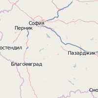
Last weekend I finally managed to go to Kosovo, although it was rather spontaneous, because my partner for the planned hiking tour got ill. Unfortunately CouchSurfing in Kosovo didn’t work out, so I had to stay at a guest house in Prishtina and didn’t really get in contact with people there.
You are wondering, whether Kosovo is a safe place to go? According to the channels that I checked (Wikitravel, Homepage of Austrian foreign ministry, …) the main danger in Kosovo right now are unexploded land mines, and you won’t encounter them as long as you stay „on the beaten path“.
I never felt afraid when I was visiting places, in fact people were always friendly and helpful … which seems to be natural in islamic cultures. The main population in Kosovo are Albanian origin, which was also the reason for the wish of their independence. The Albanian flag is also the second most seen flag around.
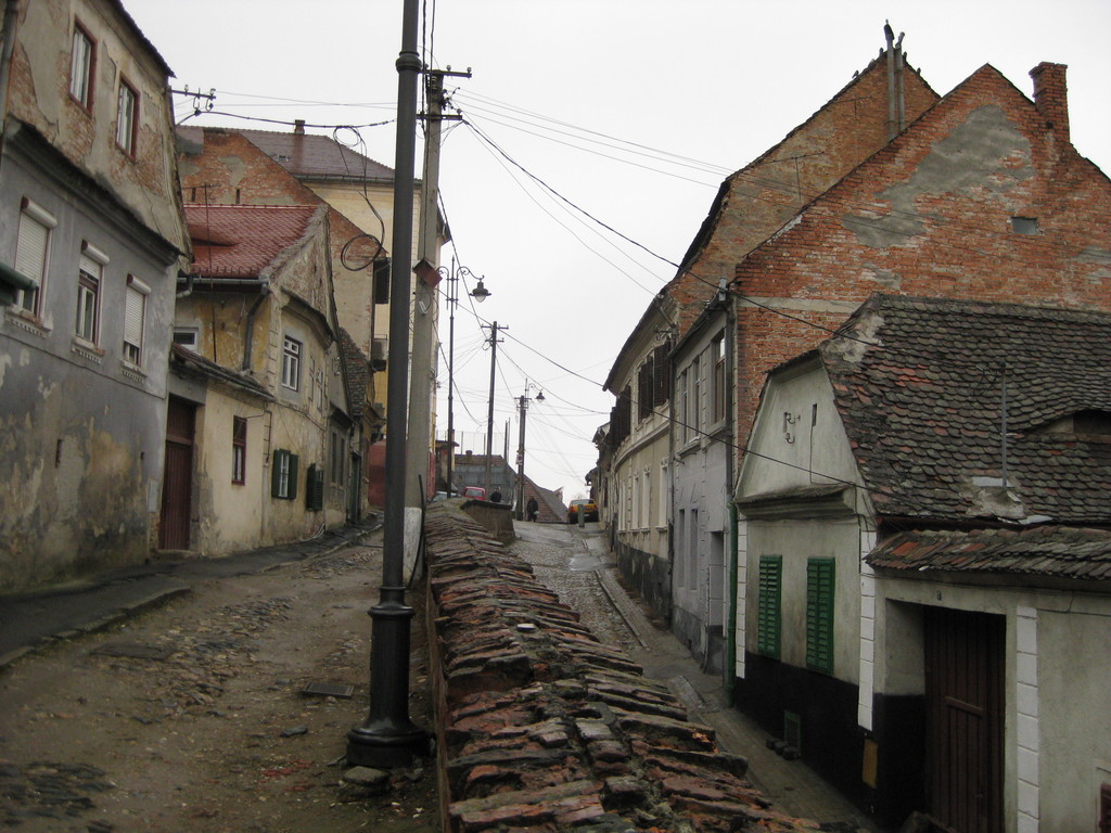
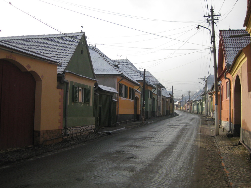
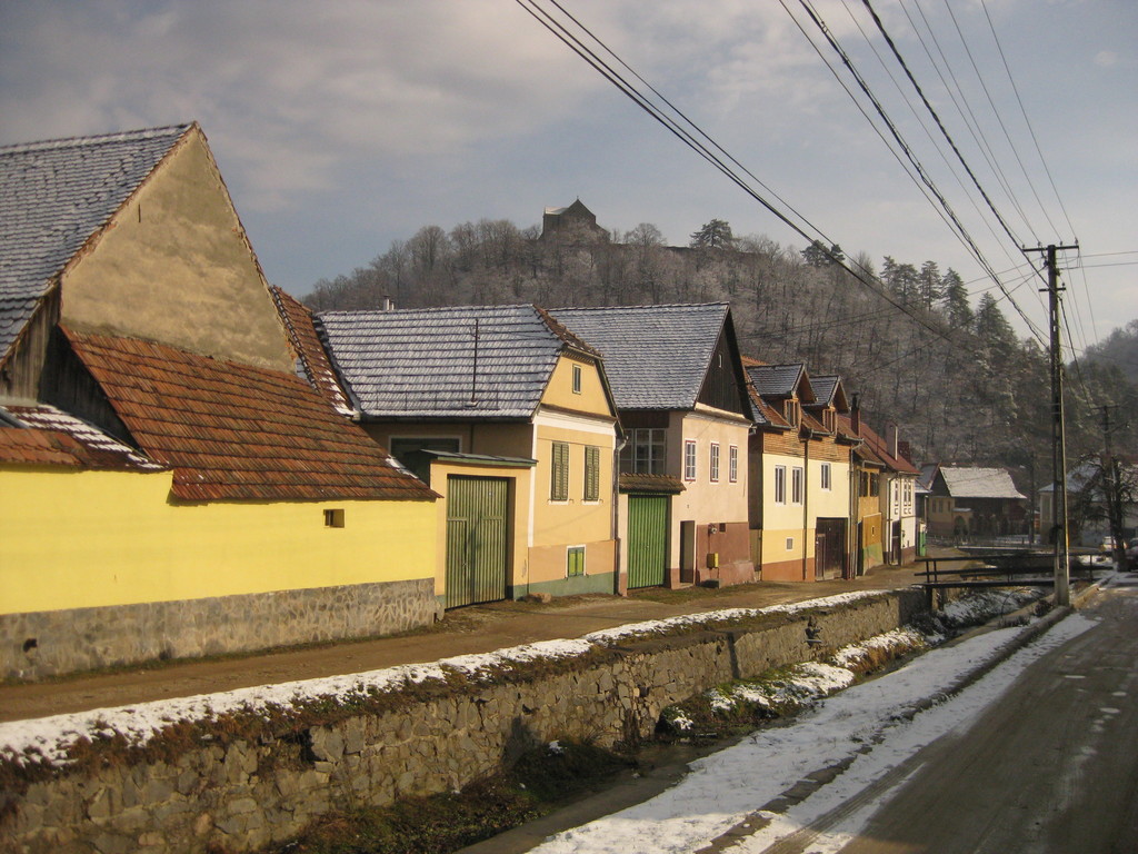
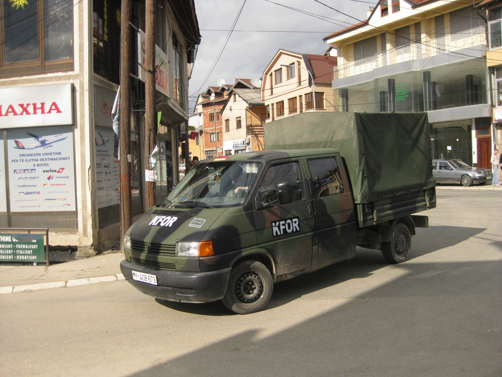
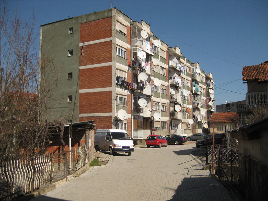
If you have already seen some places in Eastern Europe, it doesn’t look so much different. A lot of block buildings from communist times, in between smaller, older buildings. You see a lot of foreign organisations, especially the military organisations United Nations and KFOR (NATO), but also European Union and OSCE.
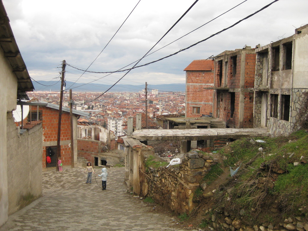
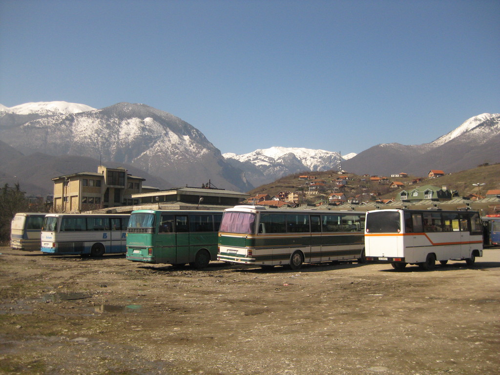
Striking to me was the presence of so many unfinished buildings, especially on the country side, where I passed them in the buses. I was surprised about the dense network of buses, there are buses to the other major cities every 15 to 30 minutes. For sure it’s not a big country, but still it takes up to three hours.
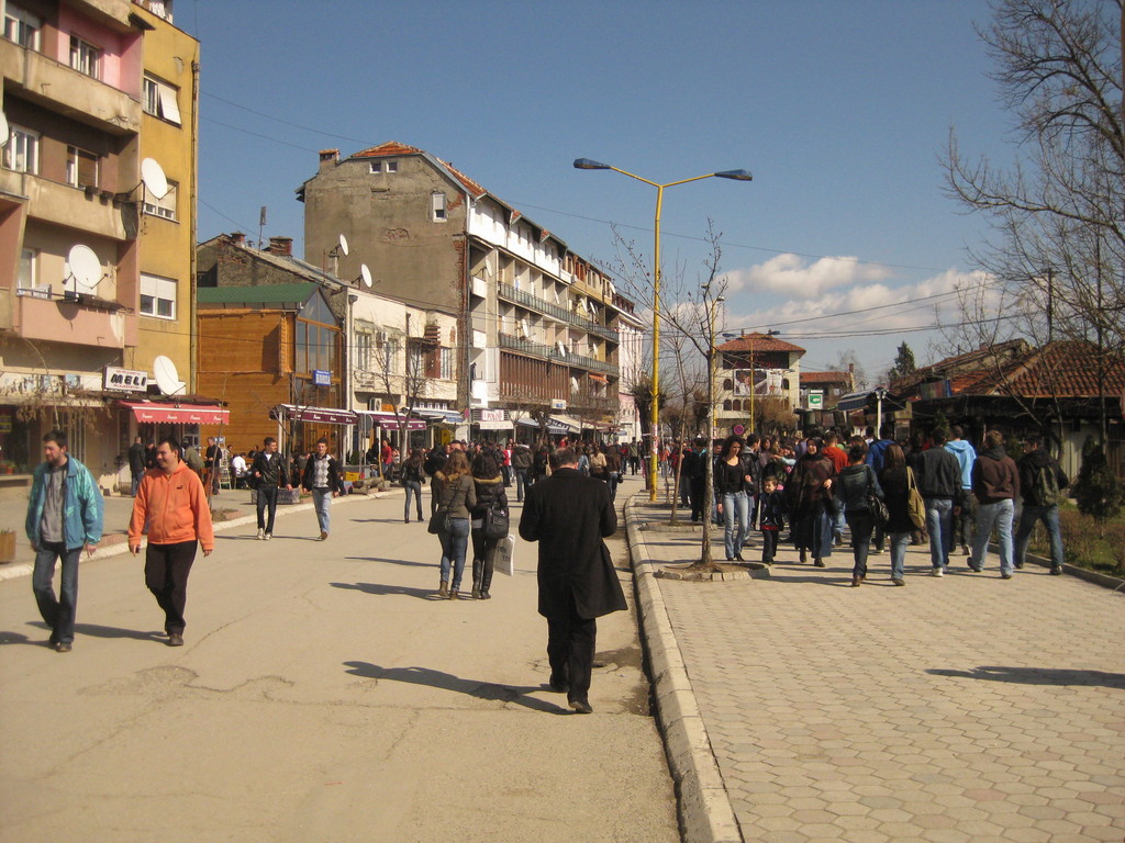
Prishtina
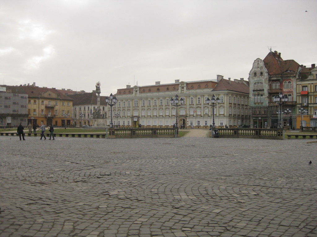
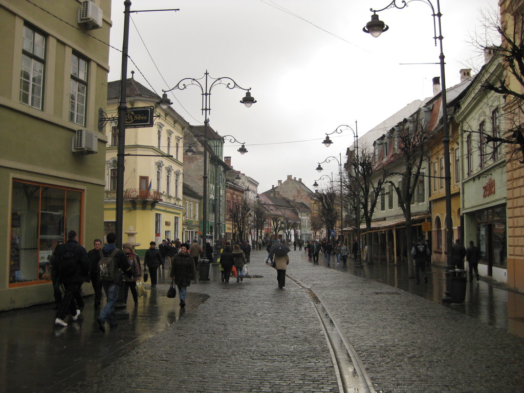
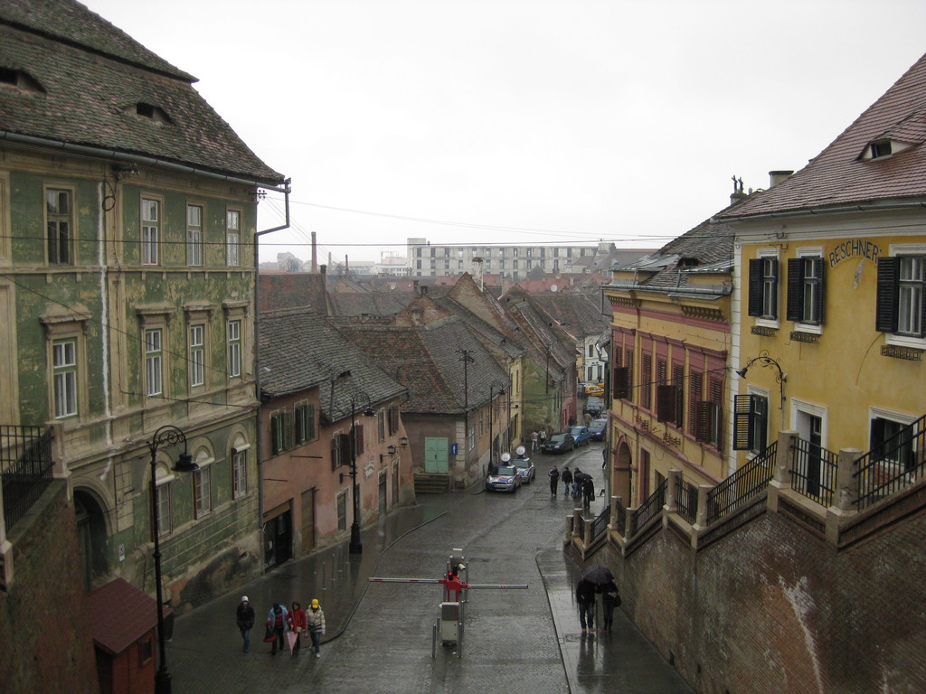
Prishtina is the capital of Kosovo and has the same problem that many capitals face: They grew too fast.
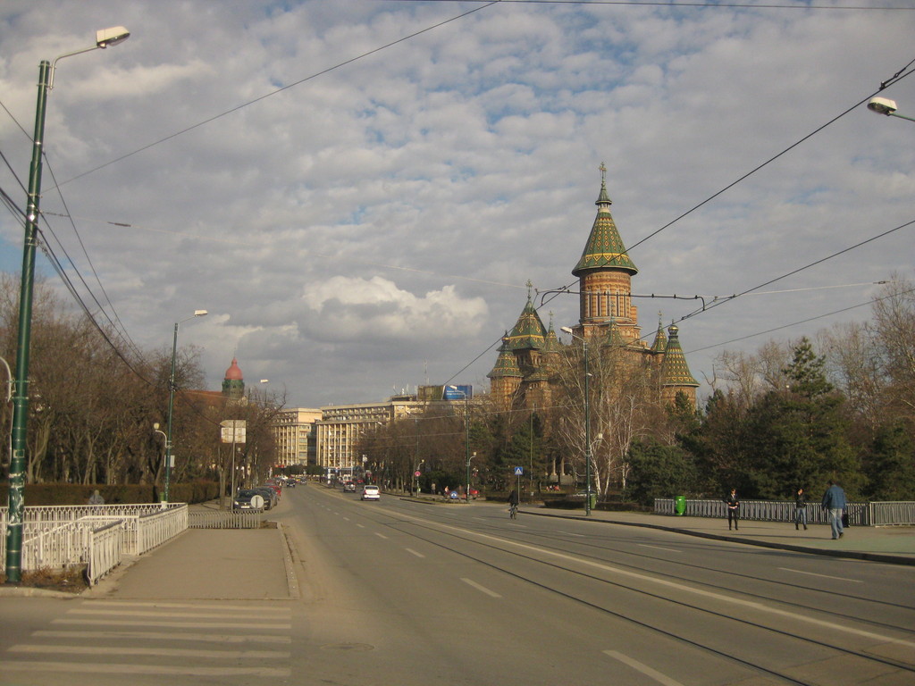
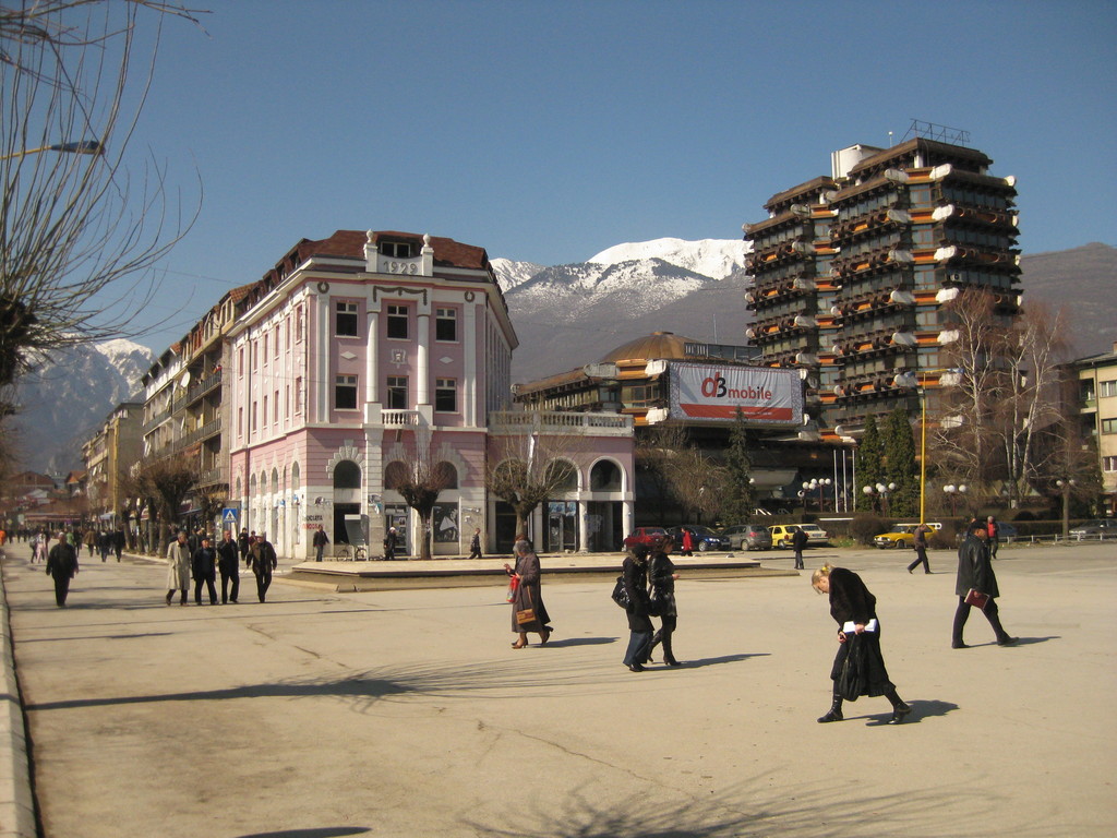
If you arrive in Prishtina by bus, it doesn’t look very welcoming. You first have to pass a highway crossing (there are some safe ways, but still it’s not very nice) and then you walk along Boulevard Bill Klinton to the city centre, passing some communist living blocks. The city centre consists mainly of big buildings, where the architects might have thought, they should be good looking. Many of them are used for the huminitary and military organisations. Around the city centre it’s getting more welcoming, a Turkish bazaar and smaller houses dominate these regions. You should definitely go to the ethnological museum (you can see traditional clothing and customs there, in a beautiful house from the 19th century), they guy there was very friendly and explained me everything in great detail. And he was for Erasmus in Vienna ;)
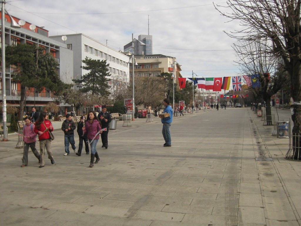 Central pedestrian zone |
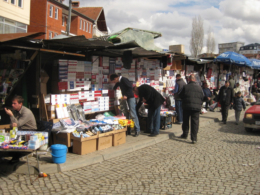 People selling cigarettes on the turkish bazaar |
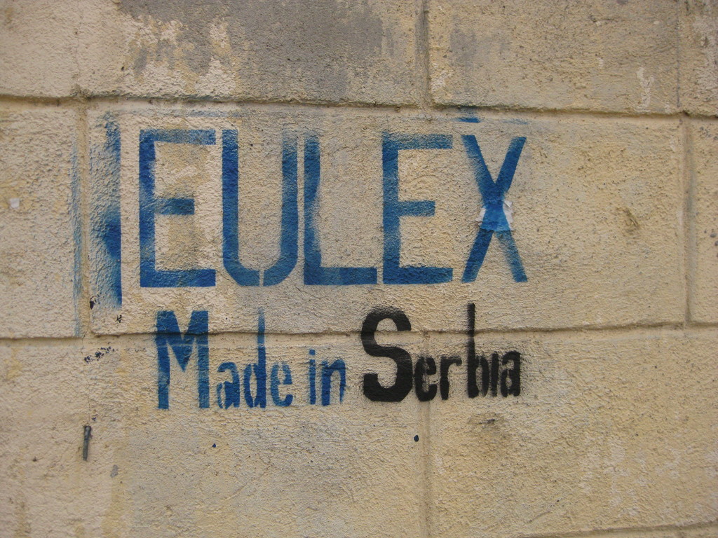 Political statements everywhere |
 An unfinished orthodox church near the city centre |
 Boulevard Bill Klinton |
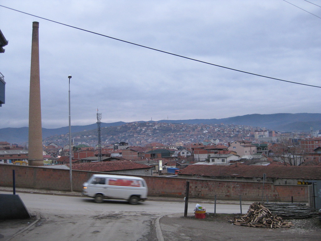 View on the Northern parts of Prishtina |
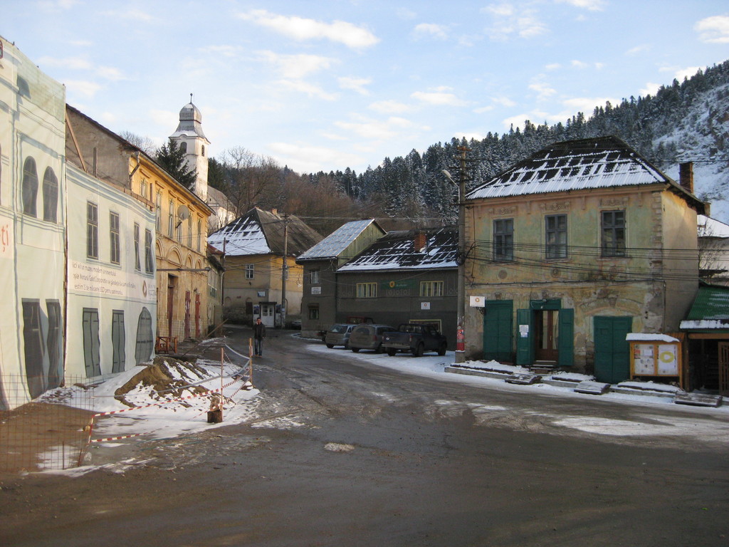
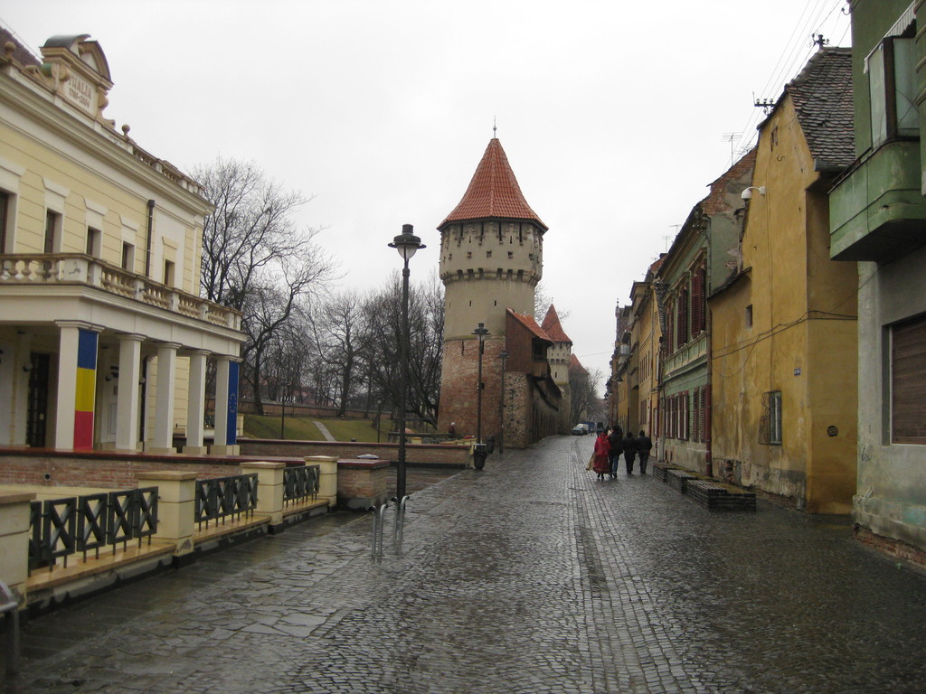
Prizren
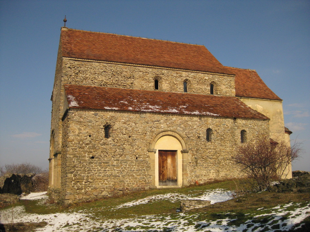
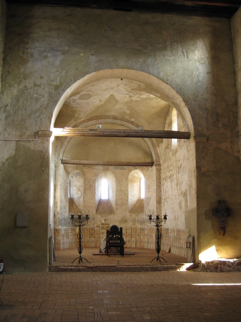
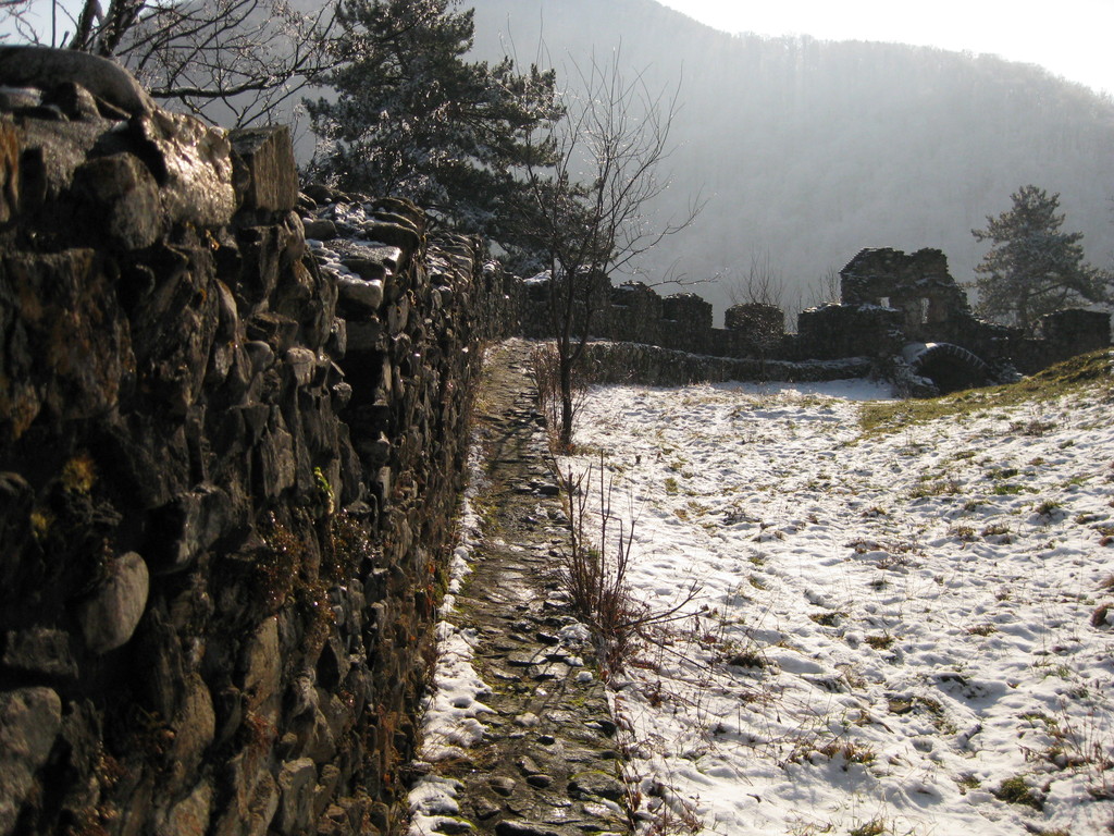
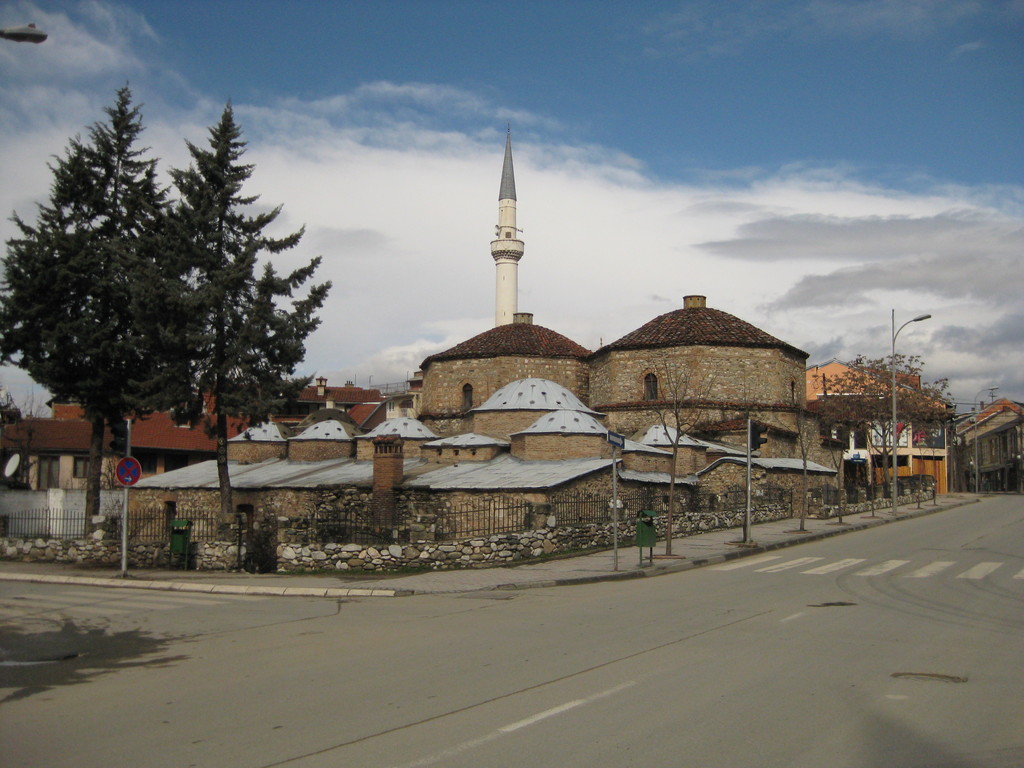
On the second day I went to see Prizren, a smaller city in the south-west of the country. First I was a little bit disappointed, but after some searching I found the city centre, with a small river flowing through it. Next to this you have a hill with a huge fortress (which is now used by KFOR) and some damaged houses from war. When I came there I saw, that some race will take place later on, but first the KFOR had to remove their tents from the main square. Later a womens car race where held, who had to find their way through a parcours.
 An old turkish bath (hamam) |
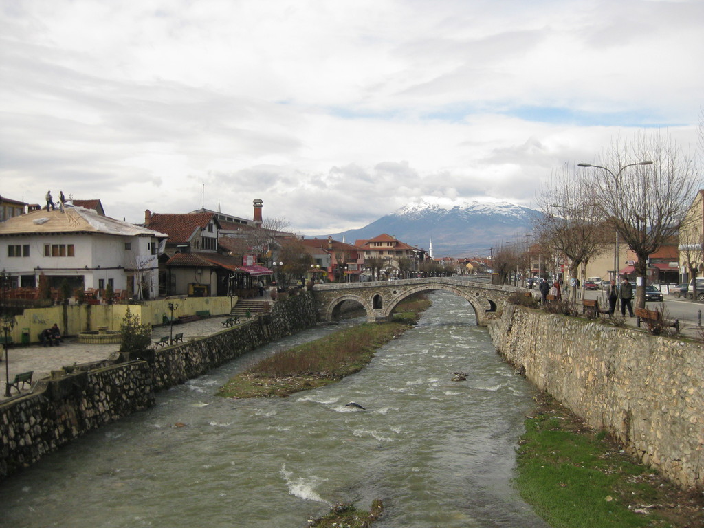 The river in the centre, with a view on snow covered mountains. |
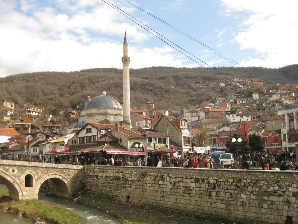 Another view to the centre, with the mosque dominating the scene. |
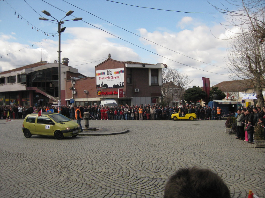 The car parcours on the main square |
 Destroyed houses don’t keep children from playing. In the background the view on Prizren |
 Military everywhere |
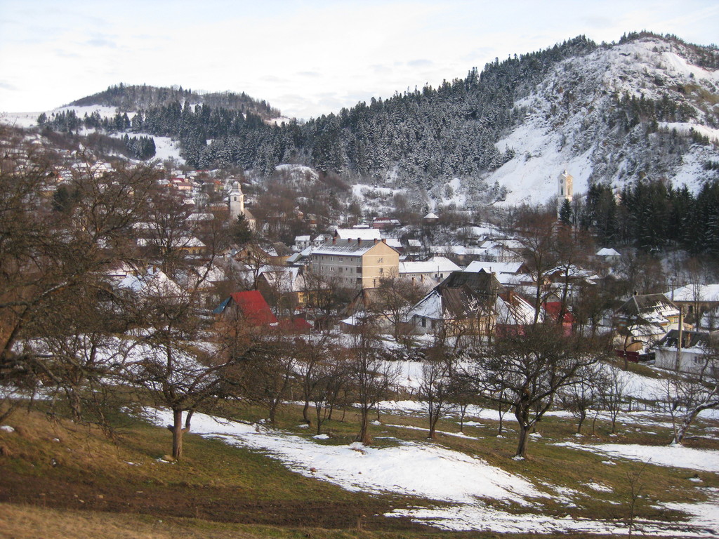
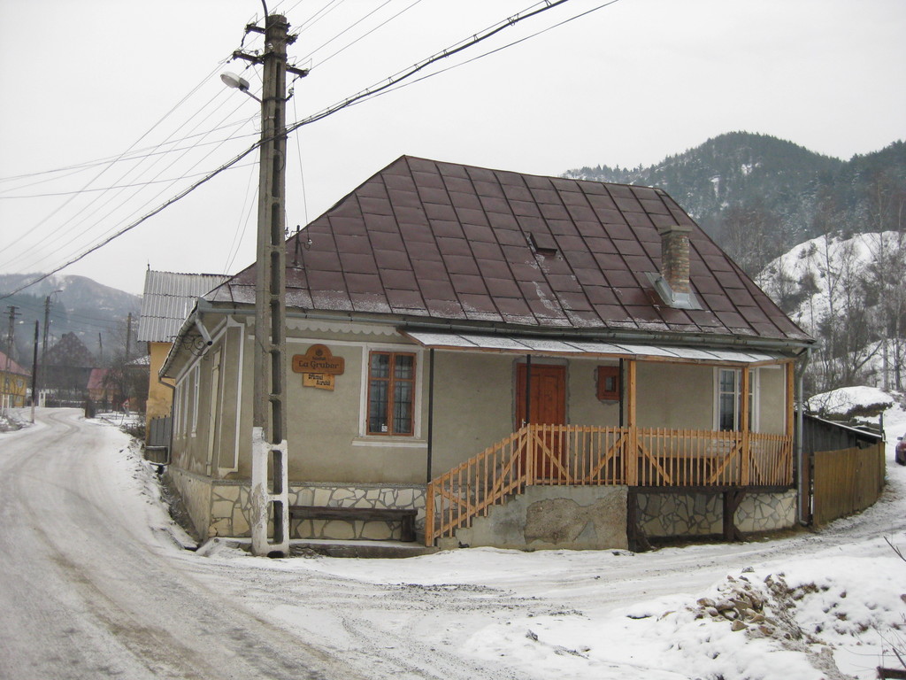
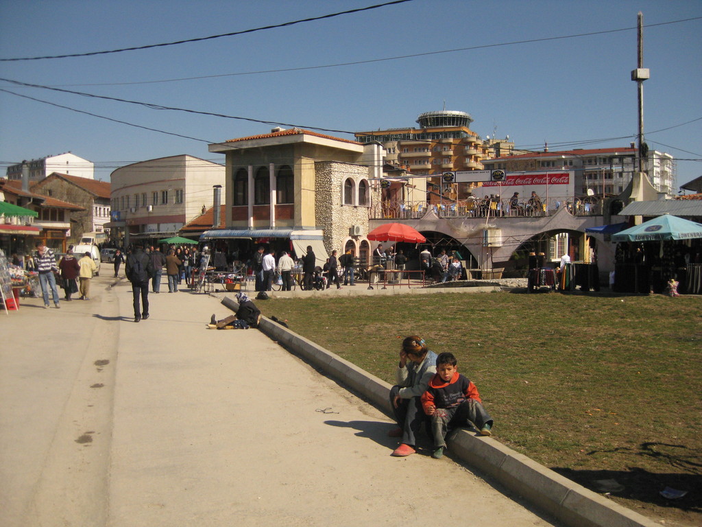
Peja
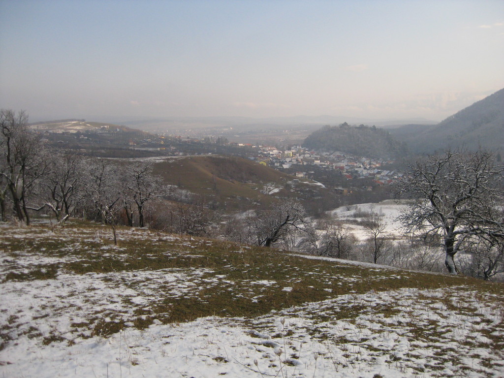
Peja is an even smaller town to the west of Kosovo. It has two centres: A turkish bazaar and a pedestrian zone with cafes and restaurants. I was surprised to see some many people on the street enjoying the day … although it was Monday. I also enjoyed some grilled meat with some salad. And I enjoyed the view on the snow covered mountains. When I left Peja I had a talk with the guy from the toilet. He lived in Germany for 23 years and got deported 4 years ago. He wants badly to go back, because he’s missing his wife and his two children, but unfortunately he was not married.
 The crowded centre |
 Main square with snow covered mountains in the background |
 From the bus station to the mountains |
 The centre of the turkish bazaar |
 A common sight in Eastern europe: Communist living blocks |
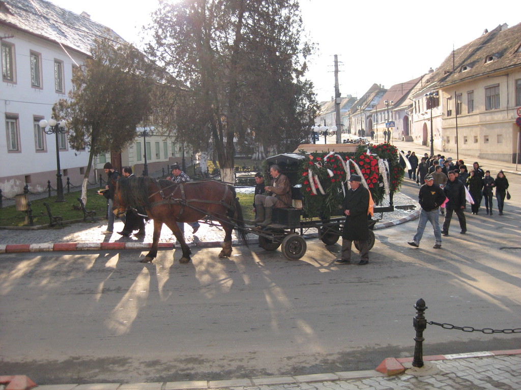
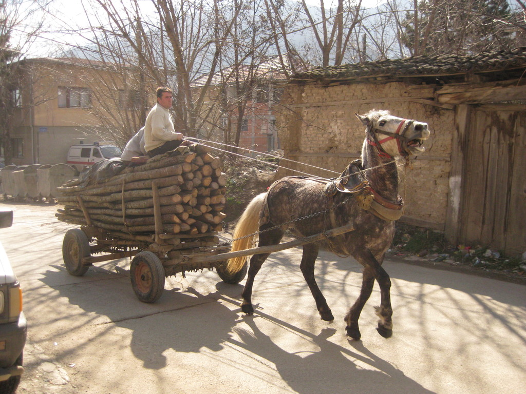 Also a common sight: horse carriages |
So, my conclusion about Kosovo: People can live a normal life. For sure there are still many problems, but there’s a lot of development going on. Mainly with foreign money, we will see how they will develop, when they have to live from their own income (talking about money: the official currency is the Euro).