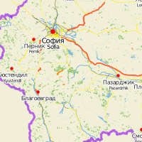
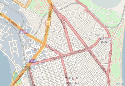
Sorry for not posting a long time, but I’ve been very busy in the last four weeks. After a weekend in the Rodopi-mountains on a trip with the Erasmus Network (nice mountains, gorges and caves but stomach problems and bad organisation) I went to Vienna by bus (~13 hours each way) for a spontaneous visit (to help with the elections at the university and to join some parties which were going on that time). I finally even stayed a day longer and went to my home town Graz, because a friend, Peter, celebrated his birthday. In the following week I tried to finish my projects for university, there was still a lot to do. And finally three friends came for visit, Babsi for two days and Sub and Argyll for more than ten days. We had a good time together, in Sofia, on the mountain Vitosha and also some more places in Bulgaria, Veliko Tarnovo and Plovdiv, were we stayed for two nights each and short visits to Stara Zagora and Asenovgrad. These days I’m finishing my studies here in Sofia, after this I will enjoy my last weeks in Bulgaria, e.g. on a CouchSurfing-meeting this weekend on a beach near Varna on the Blacksea Coast. Here you have some impressions from the last weeks:
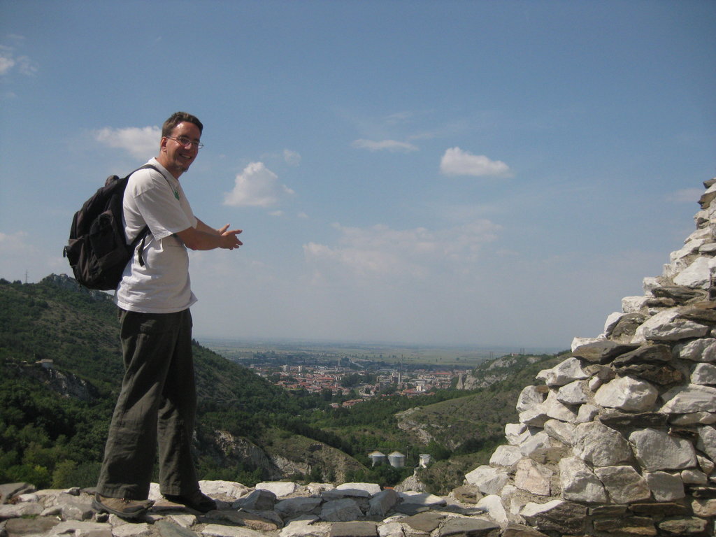 View from the Asenovgrad fortress on Asenovgrad |
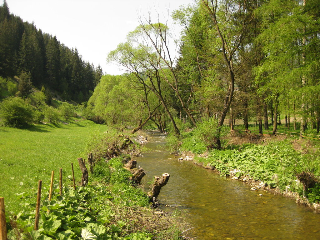 Trigrad .. it’s like in the merry tales, isn’t it? |
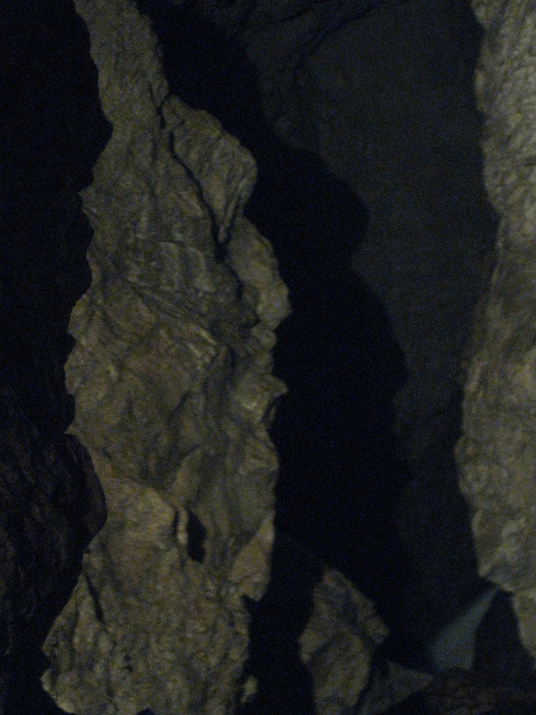 The head of the devil in the cave „the Devil’s throat“ |
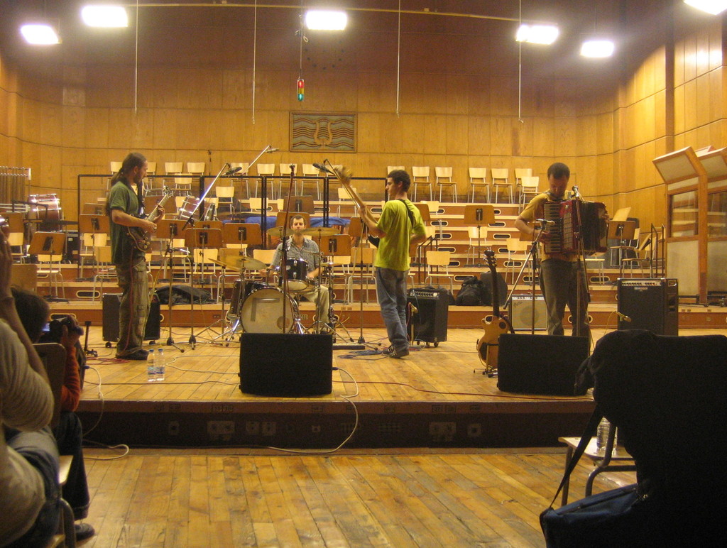
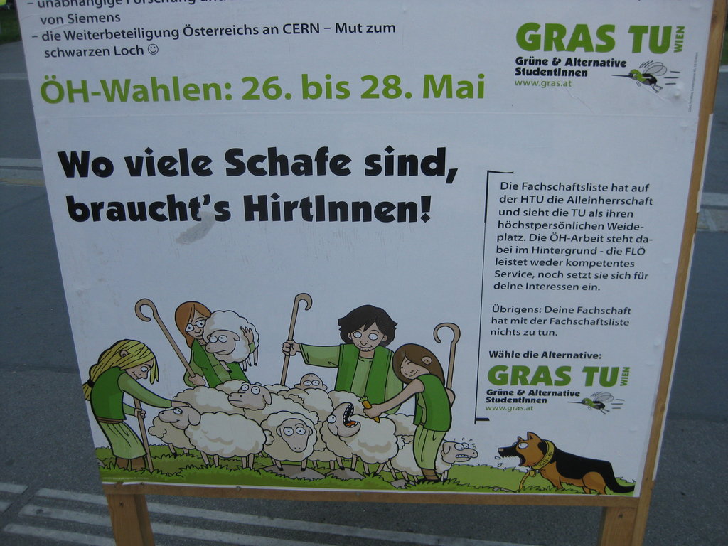 Election compaign for the students association in Vienna |
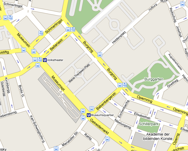
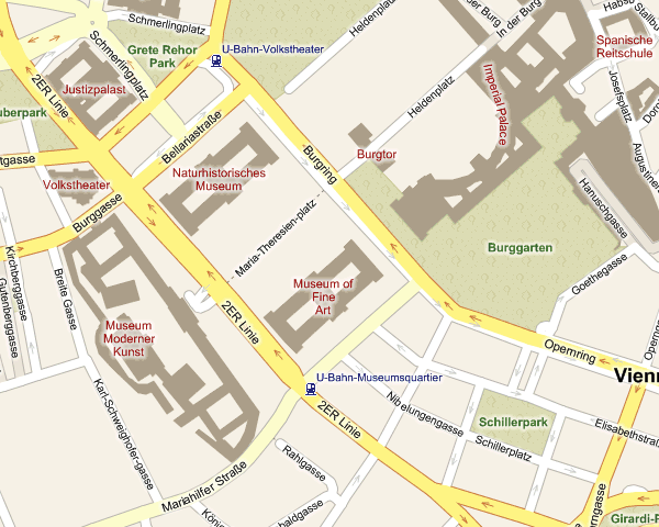
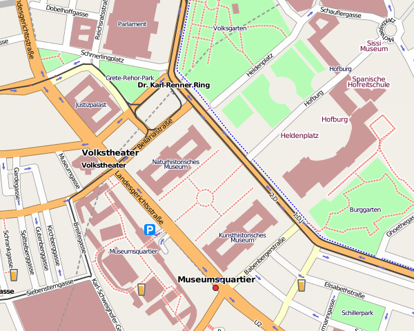
 The museums quarter on a warm evening in Vienna |
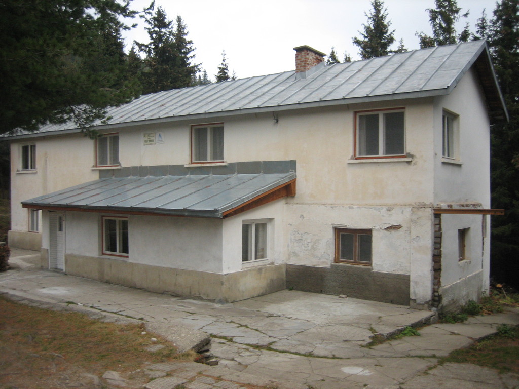
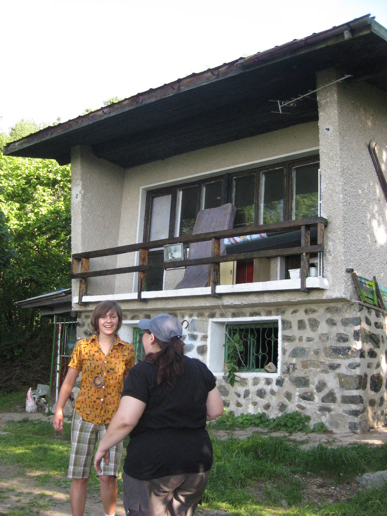 On the small mountain hut „Esperanto“ on Vitosha near Sofia with friends |
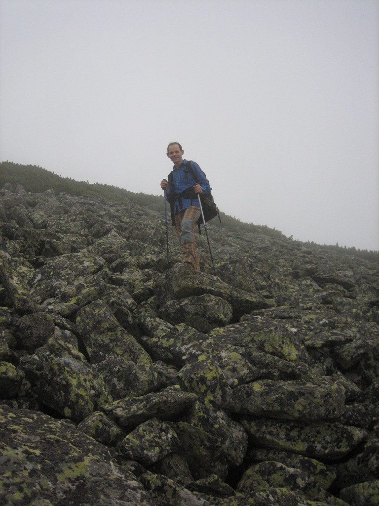
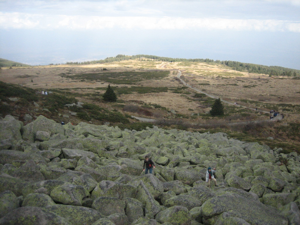
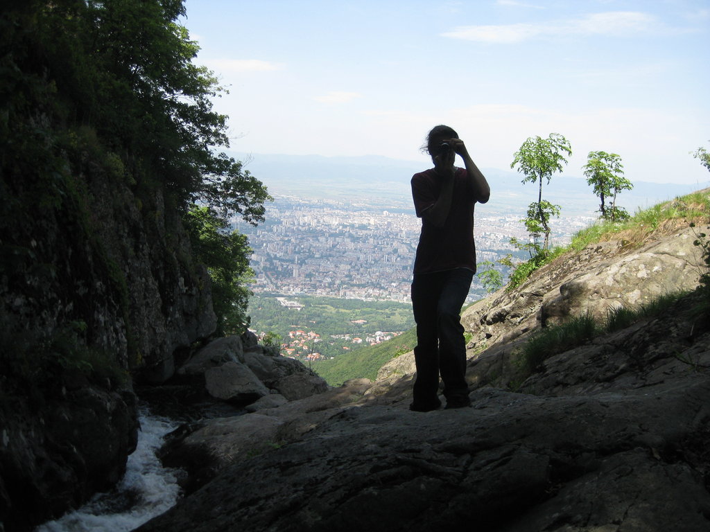 The view from a waterfall on Vitosha on Sofia (and the shadow of Sub) |
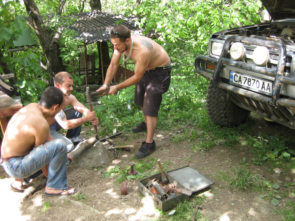 On the mountain hut: repairing the car |
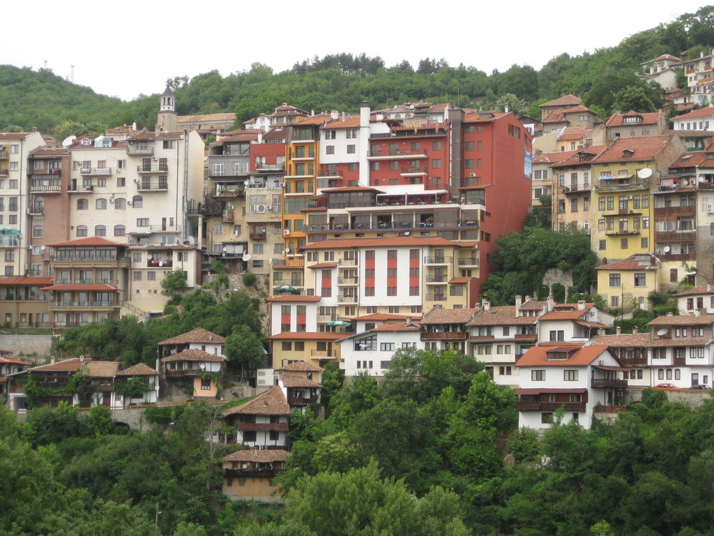 Astonishing view on the town of Veliko Tarnovo |
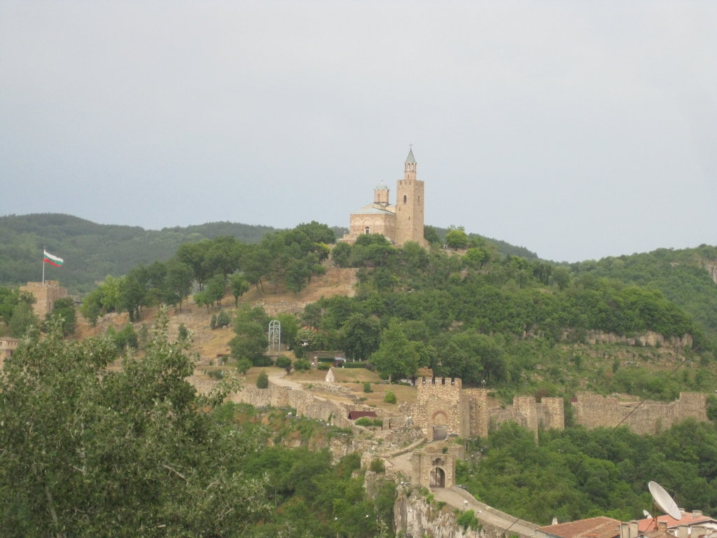 Tsarevets, the old castle in Veliko Tarnovo |
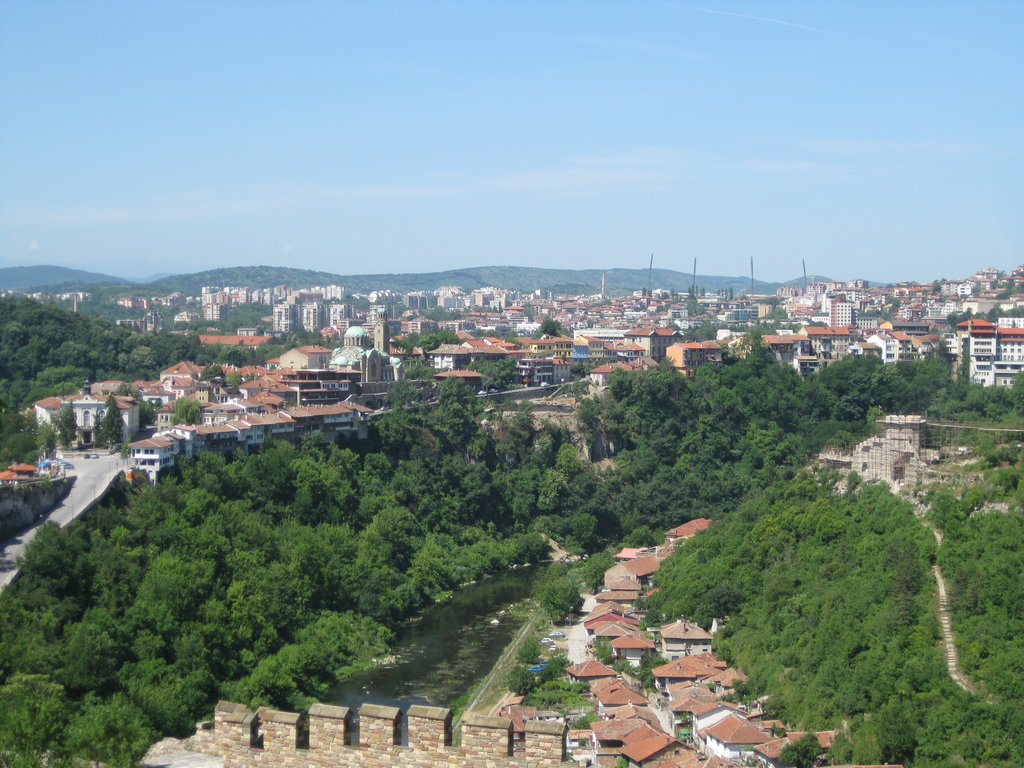 The view on Veliko Tarnovo |
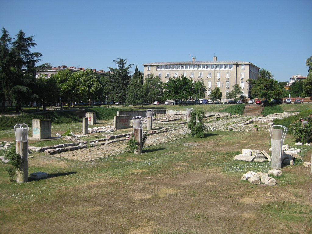 Tracian excavations in Stara Zagora |
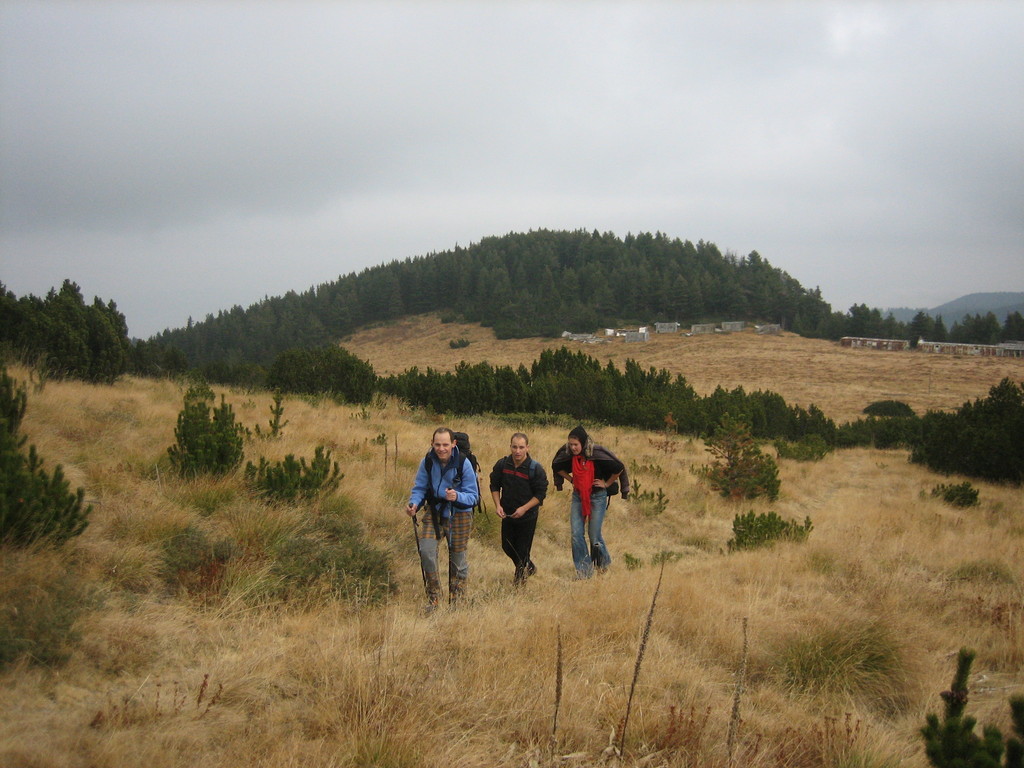
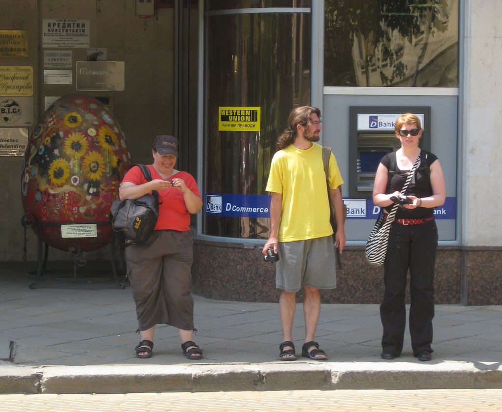 Argyll, Sub and Babsi sightseeing in Sofia |
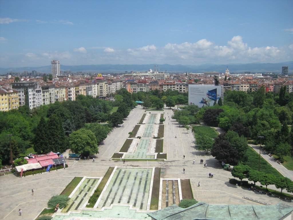 The view from NDK (an event centre) on Sofia |
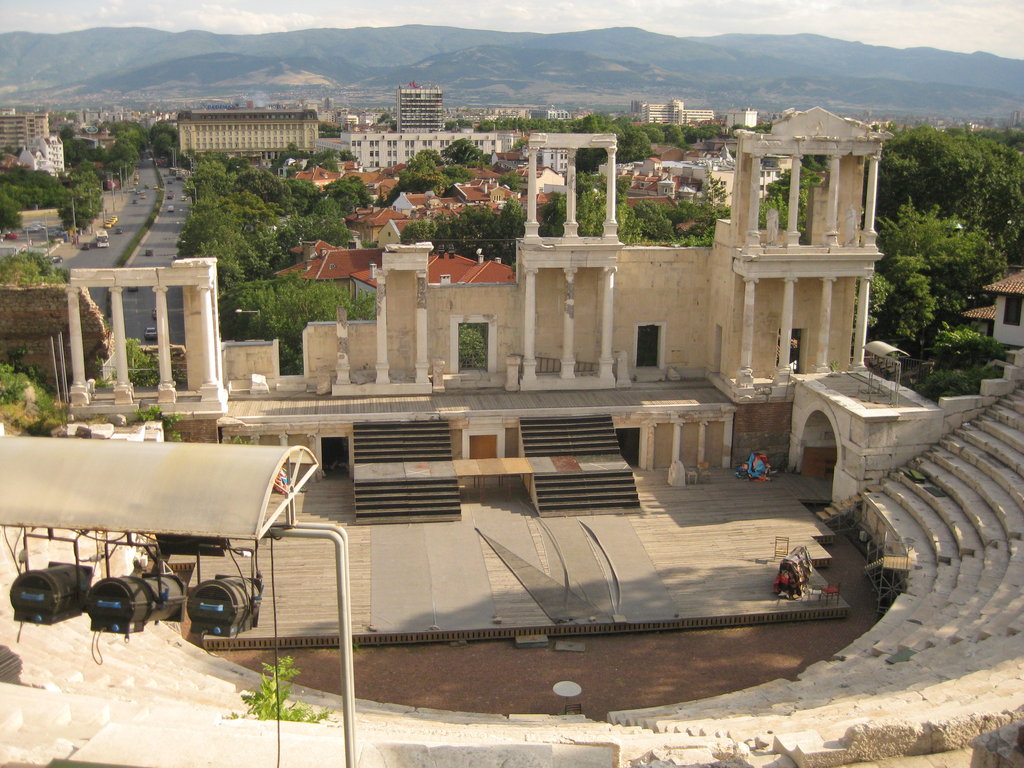 The amphitheater in Plovdiv |
 View on Plovdiv from Nebet Tepe, an excavation site on top of a hill in the old town |
 Houses in the old town of Plovdiv |
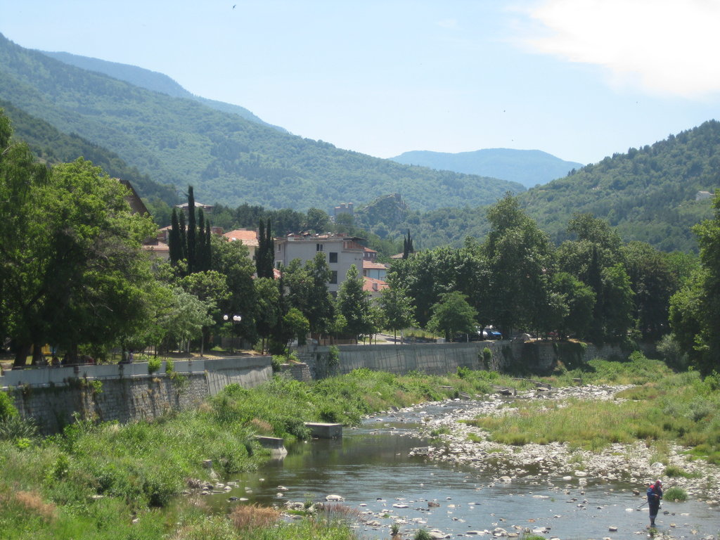 View from Asenovgrad on the Asenovgrad fortress |
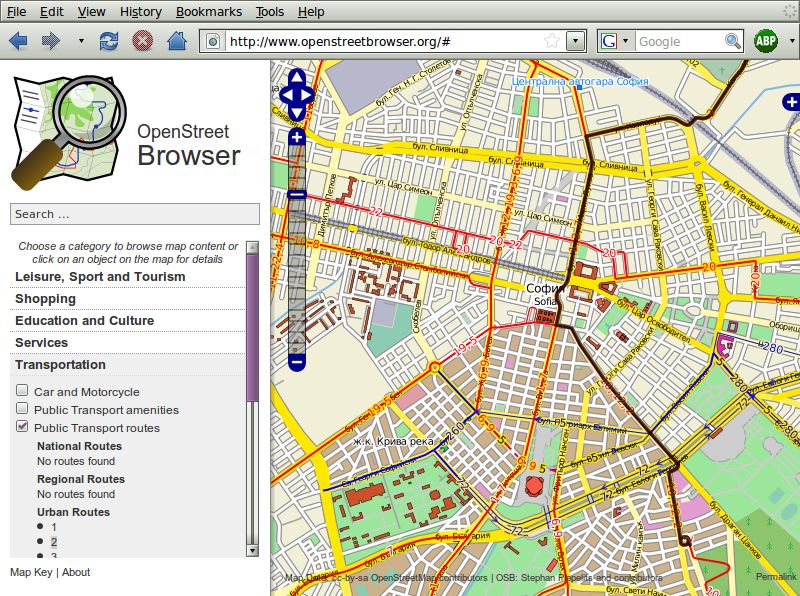
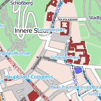
I hope now I will find some time to concentrate on my project, the OpenStreetBrowser, the „State of the Map“-Conference in Amsterdam is coming close (9.-12. July in Amsterdam). Yes, I haven’t announced it yet on my Blog, I’m going there, I hope it will be very interesting! During the last weeks I even had time do some OpenStreetMap-mapping in Bulgaria.